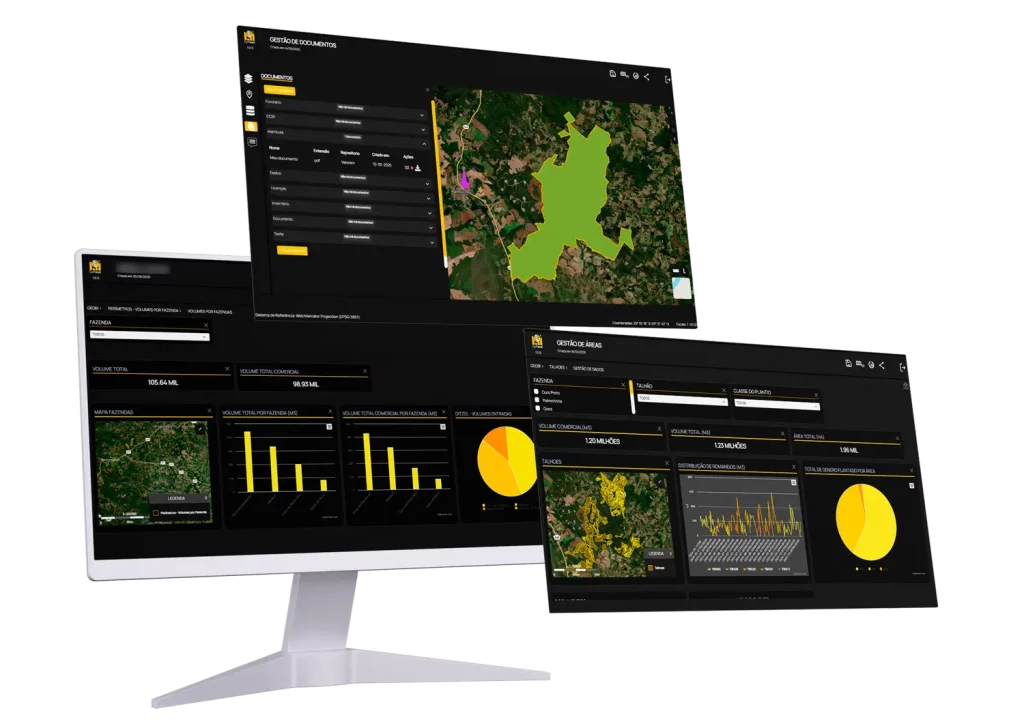
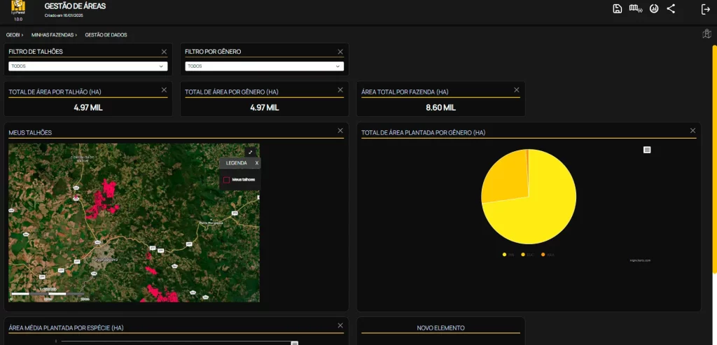
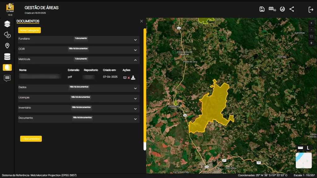
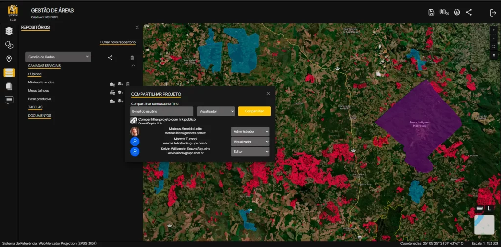

GeoBI: Visualize, Analyze, and Decide with Intelligence
No more decorative dashboards. GeoBI transforms forestry, operational, and financial data into actionable intelligence. With geospatial visualization, integration with public sources, and customizable dashboards, you’ll understand where you’re losing money, which stands perform best, and how to optimize your operations—without relying on data scientists or weekly reports.
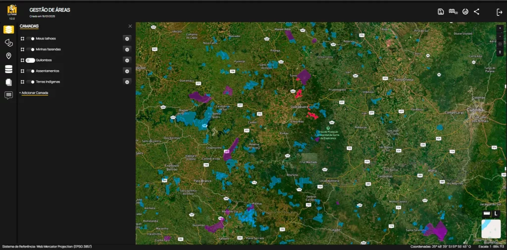
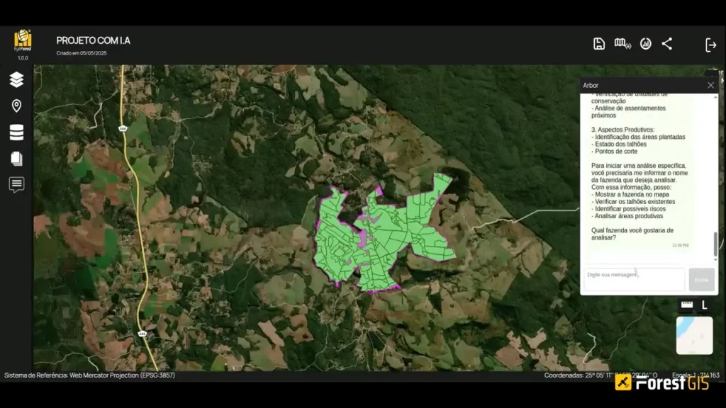
- Integrate internal and public databases, broadening your view of forest assets.
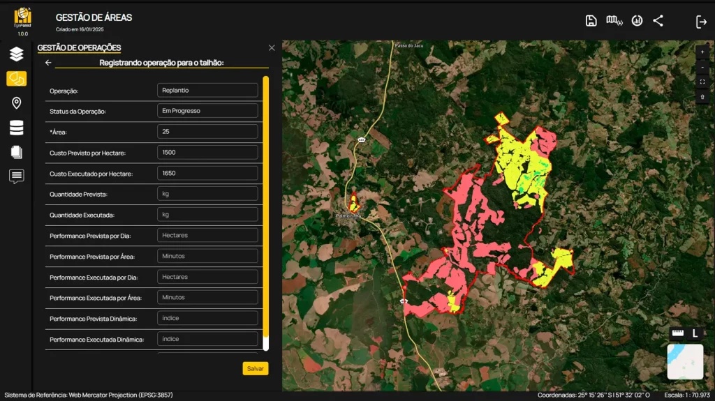
- Create customizable dashboards and analyze operational, productive, and financial indicators.
- Visualize everything on interactive maps with satellite imagery and advanced geospatial layers.
Real forestry insight. In real-time. At your fingertips.